Electrical connection

Main Menu

  • News
  • Products
    • Cabling
    • Data & Communications
    • Industrial
    • Lighting
    • Solar & Renewables
    • Test & Measurement
  • Wiring Rules
  • Features
  • Sponsored

logo

Electrical connection

  • News
  • Products
    • Cabling
    • Data & Communications
    • Industrial
    • Lighting
    • Solar & Renewables
    • Test & Measurement
  • Wiring Rules
  • Features
  • Sponsored
News
Home›News›ABCB publishes interactive climate map

ABCB publishes interactive climate map

By Casey McGuire
10/09/2025
5
0

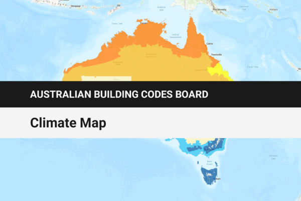
The Australian Building Codes Board (ABCB) has published a climate map that uses geospatial data, dynamic layers and static reference maps.

The ABCB collaborated with the Department of Industry, Science and Resources data strategy team and the Digital Atlas of Australia team at Geoscience Australia to create the interactive map.

ADVERTISEMENT

The data on the map covers existing NCC climate zones, local government area (LGA) boundaries, relative humidity and alpine area classifications.

Key features of the map include customisable base maps, advanced search capabilities, ability to create reports, filters and interactive tools.

Access the interactive climate map HERE.

Previous Article

Breaking down barriers: Standards Australia’s push for ...

Next Article

KNX Association releases Version 3.0.4 of KNX ...

  • ADVERTISEMENT

  • ADVERTISEMENT

Issue 2, 2025
Subscribe Now

Advertisement

Sign up to our newsletter

Advertisement

  • Home
  • About Electrical Connection
  • Download Media Kit
  • Contribute
  • Contact Us